


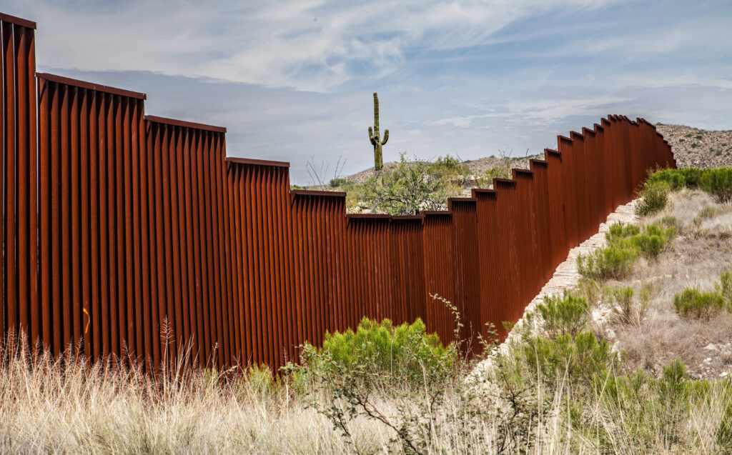
Borders are supposed to be simple: lines on a map dividing one country from another. But in reality, they are often anything but straightforward. Across the globe, invisible lines have been drawn not just by logic or geography, but by chance, conflict, ambition, and even clerical errors. The result? A world full of borders so bizarre they almost defy belief—snaking through living rooms, splitting villages in half, or forming islands of one nation completely surrounded by another.
These strange boundaries are more than geopolitical quirks. They are the scars of history—silent storytellers of wars won and lost, of colonial ambitions, of human stubbornness, and of the incredible complexity of nationhood.
Outline
- The Room with Two Countries
- The Belgian Village Cut in 30 Pieces
- The Result of a Tipsy Treaty: The Diomede Islands
- When Rivers Move and Borders Don’t
- What Makes a Border “Strange”?
- Why Strange Borders Matter
- FAQs
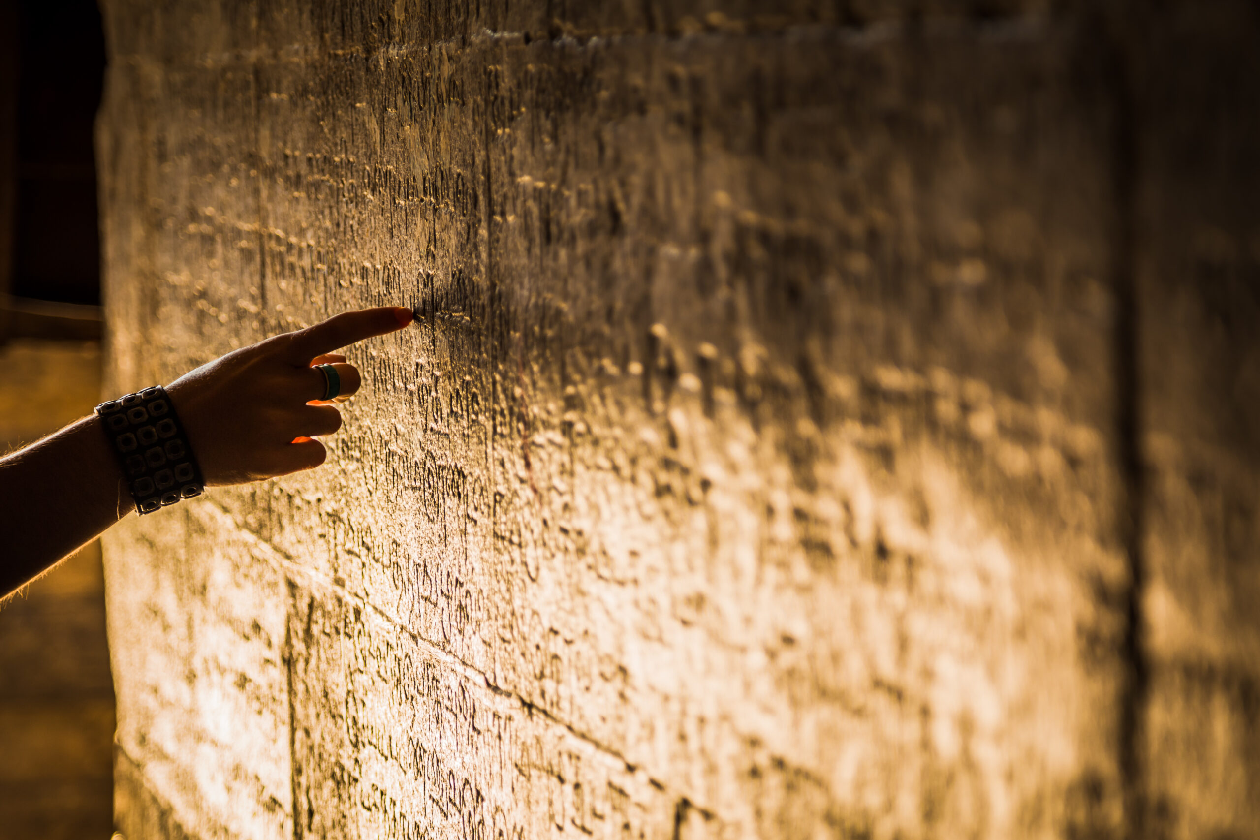
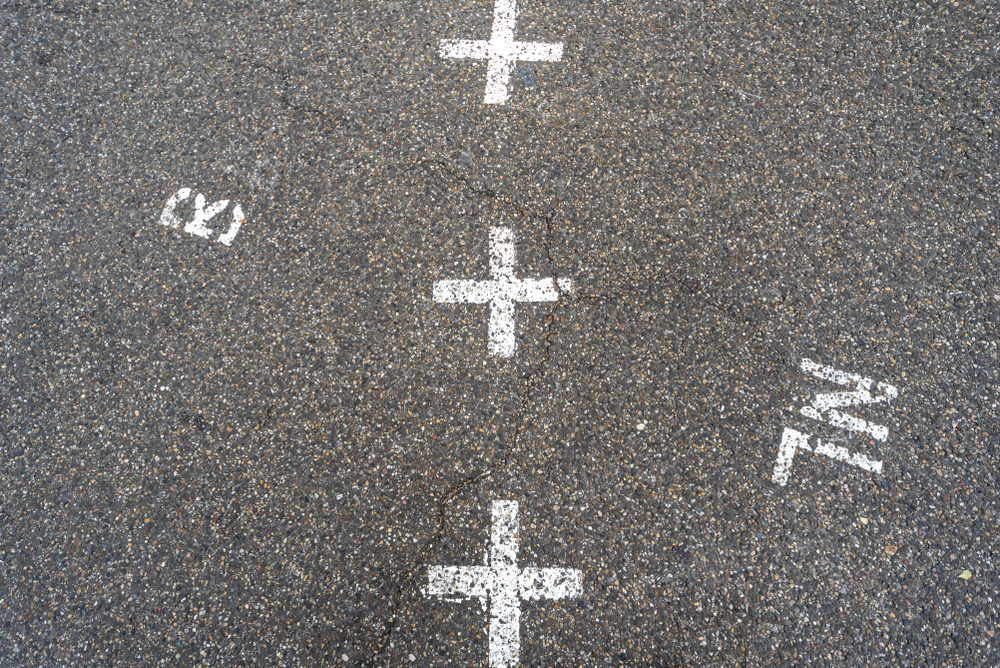
The Room with Two Countries
In the town of Baarle, along the Belgium-Netherlands border, you’ll find cafés, homes, and even bedrooms divided by an international boundary. A single building can have a Dutch entrance and a Belgian kitchen. One house famously pays taxes to both countries because the border slices right through its living room.
This bizarre setup is the result of medieval land swaps and convoluted feudal treaties between dukes and noblemen. Today, Baarle is a peaceful oddity, where white cross-hatched tiles mark the exact location of the international border—even inside private homes.
The Belgian Village Cut in 30 Pieces
Baarle deserves a second mention because its complexity is unmatched. The town includes 22 Belgian exclaves in the Netherlands, and within some of those exclaves are Dutch counter-exclaves. That’s right: a piece of Belgium inside a piece of the Netherlands, inside Belgium.
Maps of the area look like patchwork quilts gone mad. What began as land deals in the Middle Ages has now become a logistical masterpiece involving dual governments, overlapping postal systems, and two sets of laws. And yet, the town thrives—an example of how people adapt to even the most bewildering geography.
The Result of a Tipsy Treaty: The Diomede Islands
Between Alaska and Russia lie the Diomede Islands, just 3.8 kilometers apart. Big Diomede belongs to Russia, Little Diomede to the U.S. Between them runs the International Date Line. This means that although the islands are visible from each other, they are separated by 21 hours in time.
According to local lore, when Russian and American officials met to negotiate boundaries in the 1867 Alaska Purchase, alcohol flowed freely, and decisions were made hastily. Whether or not the story is true, the result remains: a time warp between two neighbors who rarely speak.
When Rivers Move and Borders Don’t
Rivers often serve as natural boundaries. But rivers shift. Their courses meander over centuries. In South America, the shifting Paraná River has complicated the border between Argentina and Paraguay. In the United States, the Mississippi River has moved miles from its original position in some areas—leaving land that legally belongs to one state, but physically sits in another.
These anomalies create jurisdictional limbo. Who provides emergency services? Which laws apply? Often, the answer is negotiated case by case, but the tension is built into the geography.
What Makes a Border “Strange”?
A border becomes peculiar when:
- It contradicts natural geography
- It slices through communities or even buildings
- It creates exclaves or enclaves
- It results from outdated treaties or arbitrary decisions
What all these cases have in common is that they challenge our sense of what countries are and how humans organize space.
Why Strange Borders Matter
At first glance, these borders may seem like curiosities. But they tell deeper stories. They reveal how nations are not fixed entities, but fluid concepts shaped by power, identity, and error. Strange borders are living evidence of how human decisions ripple through generations, affecting everything from cultural identity to governance.
They remind us that the world map we often take for granted is not a finished product. It’s a draft—written in pencil, sometimes smeared by time, occasionally redrawn by force.
FAQs
1. Why are some country borders so complicated?
Many borders were drawn without regard to geography or culture, especially during colonial times. Others evolved from centuries-old treaties or conflicts, leading to odd shapes and enclaves.
2. What’s the difference between an enclave and an exclave?
An enclave is a territory entirely surrounded by another country. An exclave is a part of a country separated from the main territory and surrounded by foreign land.
3. Can borders still change today?
Yes. Borders can change due to war, diplomacy, referendums, or environmental changes. While rare, peaceful border changes—like the Czech-Slovak split—still occur.